- The Geospatial Observation Center will be located on the St. Augustine Campus of the University of the West Indies
- The Center will provide the countries of the Greater Caribbean region with useful geospatial information on disaster prevention, climate change, urban growth and natural resources
- The Center will become part of the Latin American and Caribbean Space Agency (ALCE)
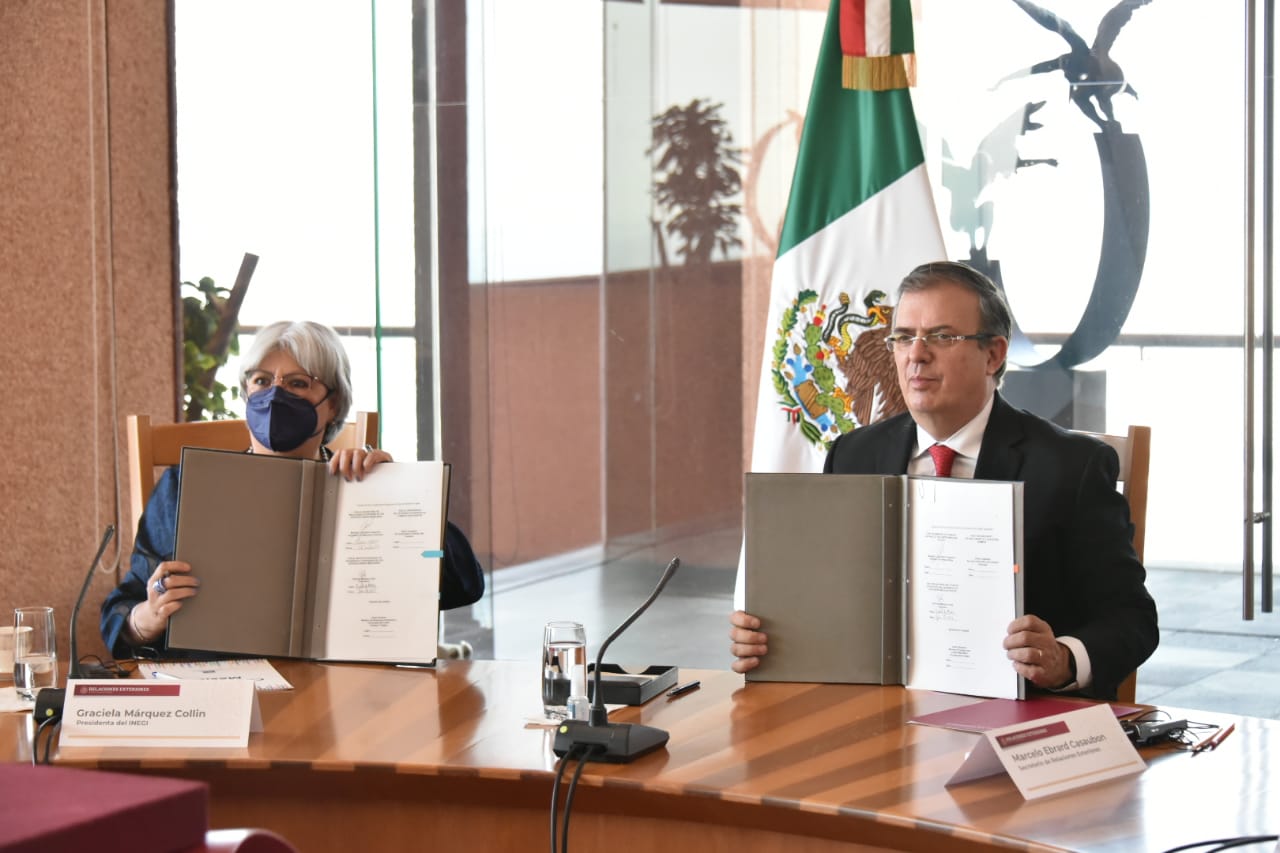
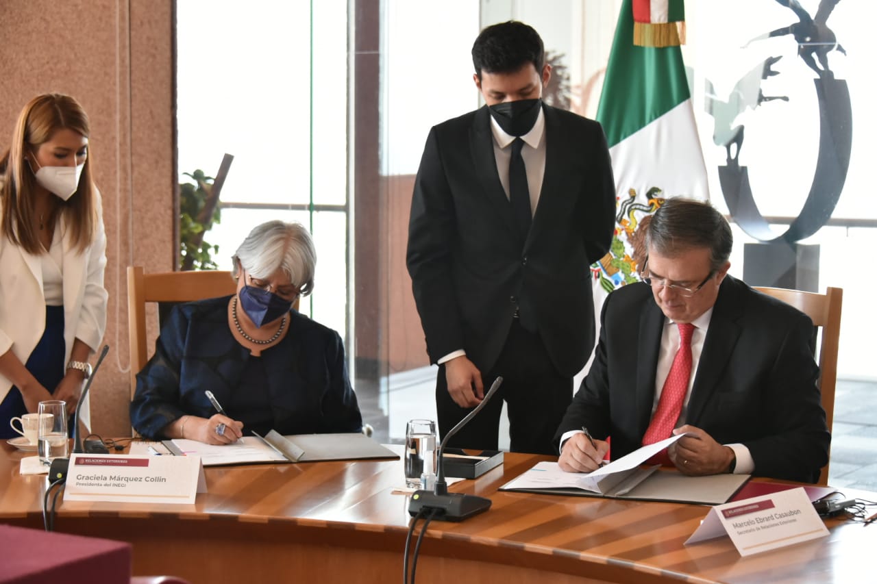
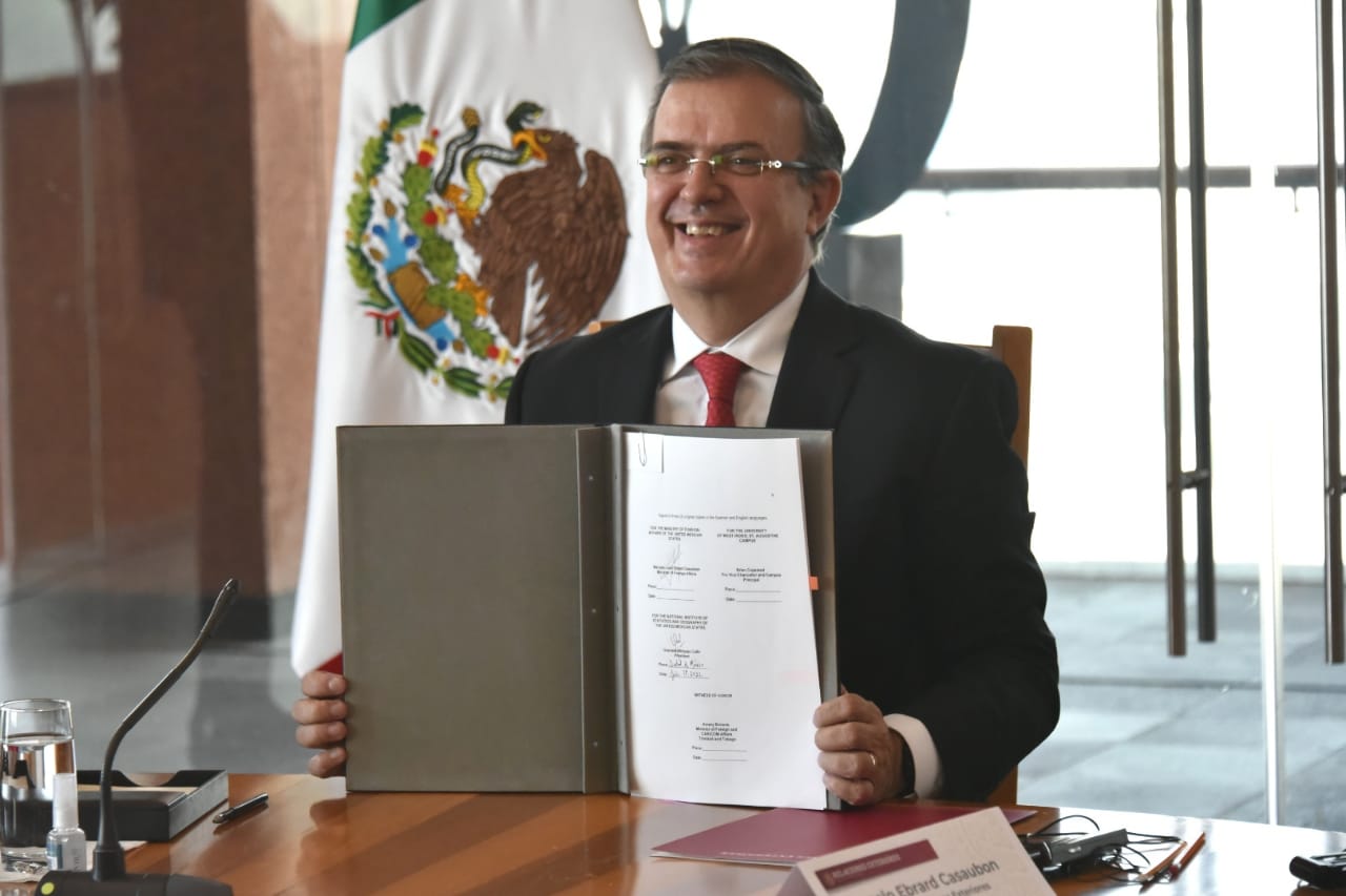
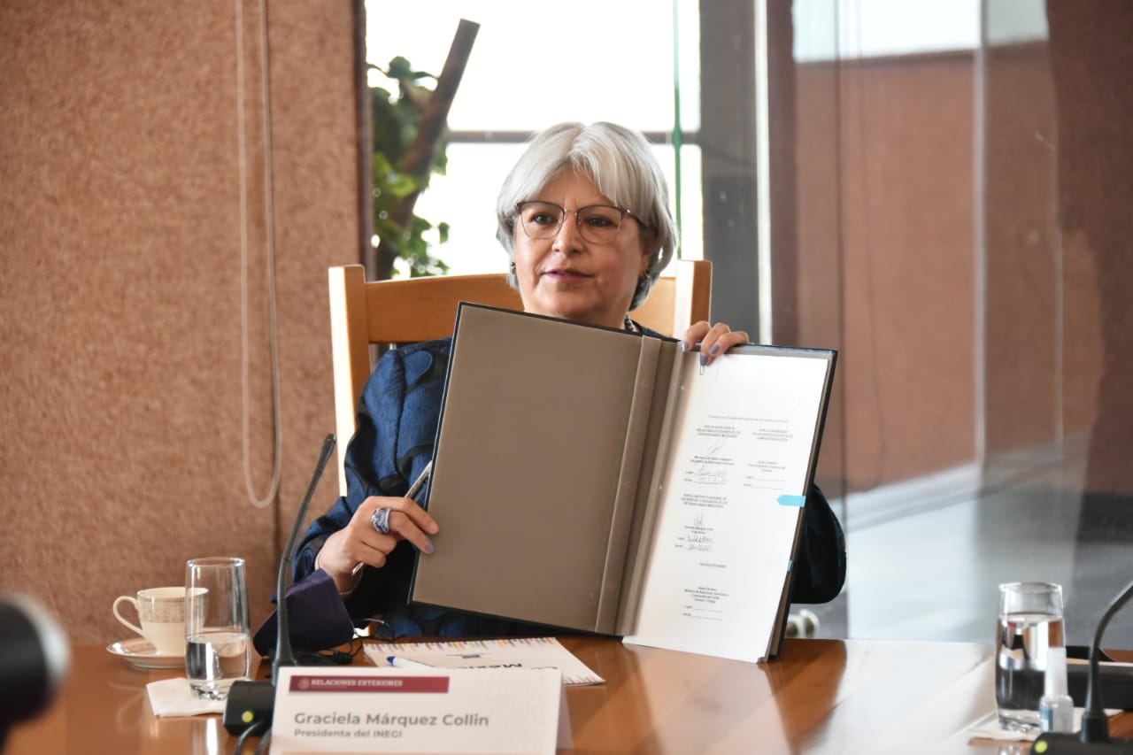
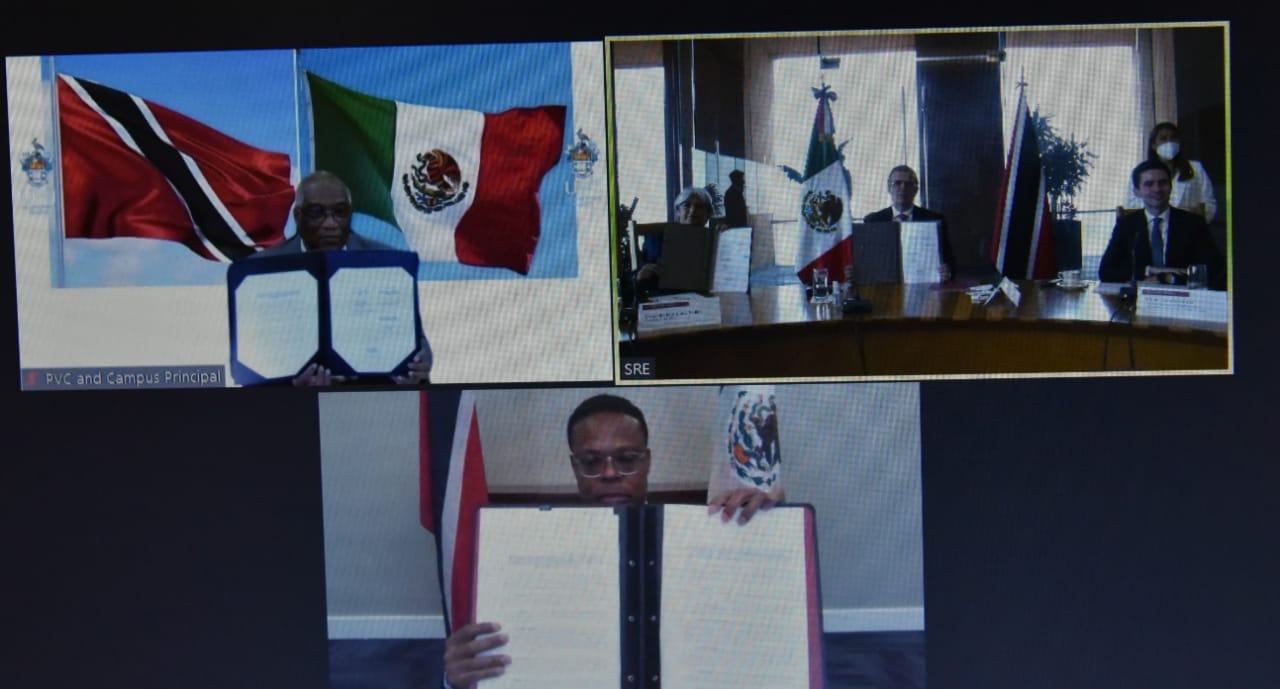
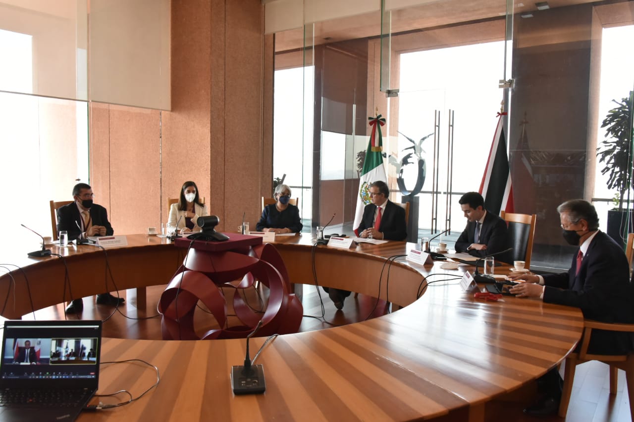
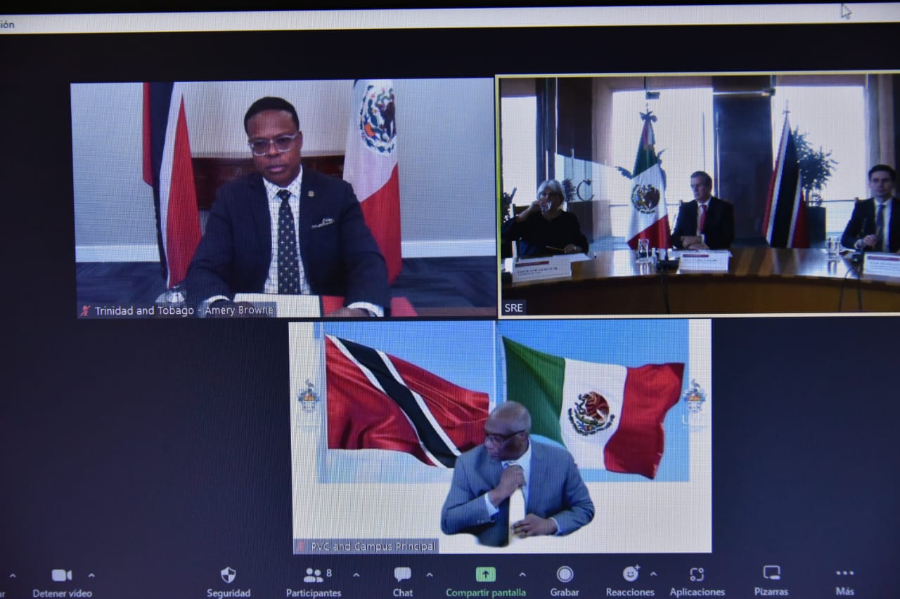
As part of the creation of the Latin American and Caribbean Space Agency (ALCE), the Foreign Ministry and the National Institute of Statistics and Geography (INEGI) signed an agreement with the University of the West Indies (UWI) to install a Geospatial Observation Center.
The Center will be based on the St. Augustine campus in Trinidad and Tobago. Specialized equipment will be installed there to generate and process free geospatial information that will be accessible to the entire Caribbean region.
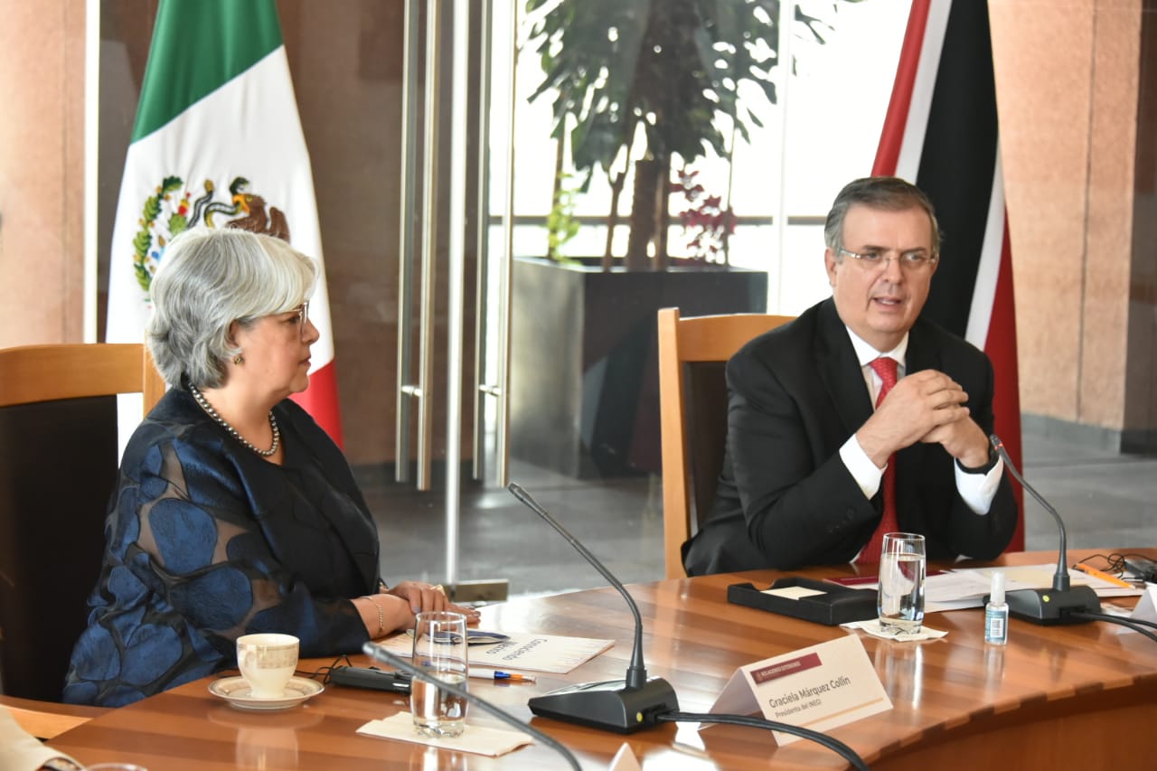
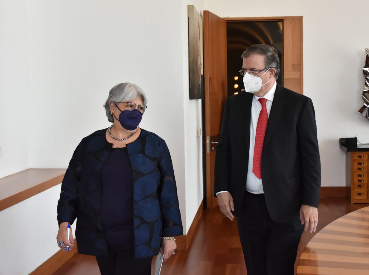
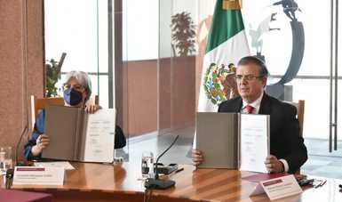
During the signing ceremony, Foreign Secretary Marcelo Ebrard said that the project strengthened the ties of friendship between Mexico and the Caribbean Community (CARICOM), providing these countries with useful information for decision-making on land use, climate change and disaster prevention. This will benefit the countries of the region because it is vulnerable to various weather phenomena.
In his remarks, Foreign Secretary Ebrard said that the Center would give us another way to work with the Caribbean to enable it to "better protect itself from the impact of climate change, which will be increasingly acute... This is a tool to support them, so that they can better organize themselves, anticipate and be much better informed of what may happen in the coming months and years," he said.
"We are doing things as the Community of Latin American and Caribbean States that are aimed at cooperation, that is, for our Community to become the main instrument of cooperation in the region. That is exactly what we are all seeking," he continued.
INEGI President Graciela Márquez Colín said that in the last 25 years geospatial information has become a fundamental tool for decision-making. She noted the importance of signing the agreement, which will contribute to effective collaboration between academic and government institutions regarding the use of geospatial information.
She said that the collaboration would strengthen INEGI's ties with the Americas, and that the joint actions of INEGI, the Foreign Ministry and the UWI would promote technological development and sustainability in the region.
The vice-chancellor of the St. Augustine campus of the University of the West Indies, Brian Copeland, thanked Mexico for the initiative, saying that this would not only benefit the University and Trinidad and Tobago, but would provide services to the entire Caribbean region. The training received from INEGI specialists will mean there will be personnel with the technical skills to take advantage of the information at the geospatial observation center.
The Minister of Foreign and CARICOM Affairs of Trinidad and Tobago, Amery Browne, was honorary witness to the signing. He thanked Mexico for the support it has given to the Caribbean as President Pro Tempore of the Community of Latin American and Caribbean States (CELAC) between 2020 and 2022. He also expressed his appreciation for the cooperation projects promoted to date.
The aim of the Memorandum is to enable the Caribbean to develop the capacity to generate geographic and statistical information by using the satellite images and other data sources. This will allow the Caribbean countries to make public policy decisions on disaster prevention, climate change, urban growth, natural resources and other factors that impact the quality of life of their citizens.
The project has three key components: investment in infrastructure —in this case, servers and specialized equipment to be installed on the St. Augustine campus of the University of the West Indies in Trinidad and Tobago, the maintenance of specialized programmers to manage the computational resources, and the training of specialists in the Caribbean with the necessary technical skills to process satellite images and information that serve their projects.
The creation of ALCE was one of the projects promoted by Mexico as President Pro Tempore of CELAC.